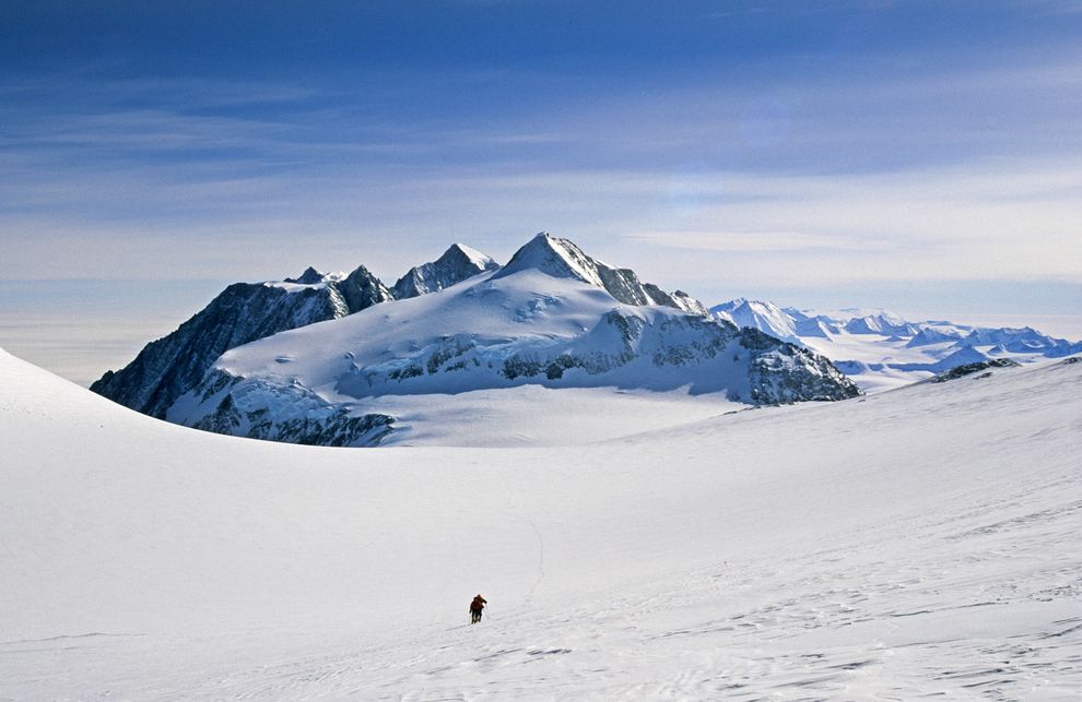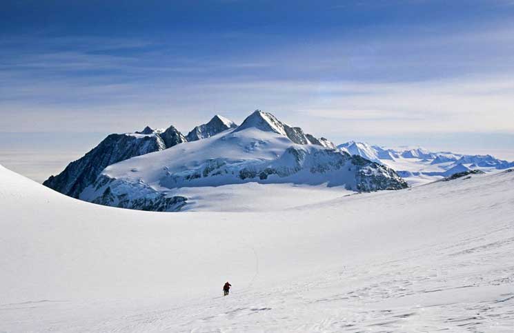
Scientists probing the icelands of West Antarctica have discovered a subglacial pit that is deeper than the Grand Canyon.
The researchers were charting the Ellsworth Subglacial Highlands-an ancient mountain range buried beneath several miles of Antarctic ice-by combining data from satellites and ice-penetrating radar towed behind snowmobiles and onboard small aircraft.
The project uncovered a massive subglacial trench, or valley, that is up to 1.9 miles (3 kilometers) deep and more than 15.5 miles (25 kilometers) across. For comparison, the Grand Canyon is 1.13 miles (1.8 kilometers) deep at its deepest point. In places, the floor of the subglacial valley is more than 6,500 feet (2,000 meters) below sea level.
“It’s a huge privilege to be able to reveal another piece of the jigsaw puzzle that is the surface of our Earth,” said study team member Neil Ross, a geophysicist at Newcastle University in the U.K.
Scientists aren’t sure exactly when the valley was created, except that it was tens of millions of years ago. “What we do know is that Antarctica has been glaciated for at least 34 million years, and during this time the ice in West Antarctica would have oscillated in size from the small ice-field conditions … to the large ice sheet that we see today,” Ross said.
The team speculates that the valley was initially formed when a river exploited a geological weakness, such as a geological fault. However, it was glaciers that did the hard work of deepening the valley.
“A river cannot incise a valley below sea level. [This type of deepening] needs erosion by glaciers,” Ross said.
Scientists had previously known about some parts of the valley, such as Subglacial Lake Ellsworth, but they had no idea how large the trough really was until now. Ross said that his group was in a unique position to “join the dots” and discover something that others had missed.
“The only reason that we can have confidence in the satellite data revealing the full extent of the trough was because we could prove the dimensions of the trough from the ice-penetrating radar data at either end,” he added.
“It was also very fortuitous that I had worked as a postdoc on the two projects that surveyed either end of the trough.”


